
Precision GNSS, RTK & Timing Solutions — Engineered Wherever Precision Matters
RTK turns a GNSS receiver into a measurement instrument: centimeter-level accuracy in both horizontal and vertical position, instead of the two to three meters a standalone receiver gives you.
It needs two things: a receiver on the moving object, and a correction source — your own base station on site, or an NTRIP service. Navisys builds both ends, from embedded modules to portable base and rover sets you can carry into the field.
The base sits on a known point and measures the error in the satellite signal. It sends that correction to the rover, which applies it and reports centimeter-level position.
Where a public or commercial network exists, corrections arrive over the internet instead and you only need the rover. Navisys also runs a free NTRIP caster you can use for testing.
With two antennas the receiver also reports true heading, which stays stable near motors and steel structures where a compass drifts.
Interface, battery, base or rover, and app support across the GR-90X series, side by side.
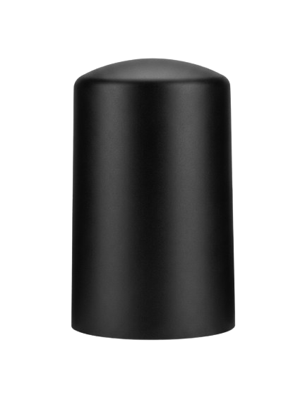
DroneCAN with CAN FD up to 8 Mbps · Moving baseline attitude · Optional compass, IP67
Learn more →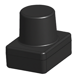
DroneCAN or UART · L1/L2/L6 with CLAS · Moving baseline
Learn more → Recommended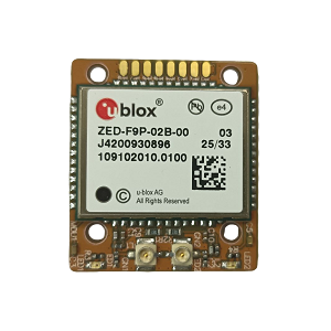
Dual antenna, precise heading · Dual RTK engine · Moving base and rover at once
Learn more →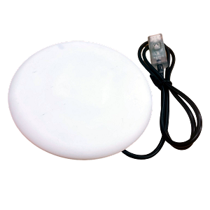
Portable RTK base · BLE5.2, rechargeable · iOS / Android app
Learn more →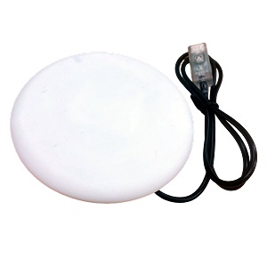
Portable RTK rover with tagging · BLE5.2, rechargeable · iOS / Android app
Learn more →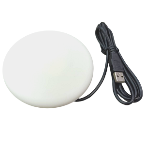
Bluetooth SPP and USB · Plug and play · Base or rover
Learn more → Popular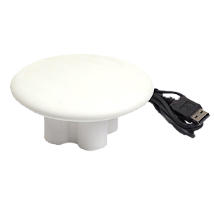
USB / RS232 / UART TTL · Base or rover · ZED-F9P dual-band
Learn more →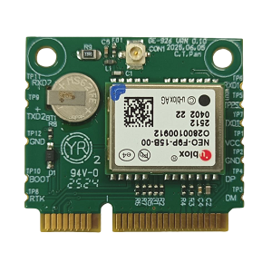
NEO-F9P, L1/L5 · PCIe Half-Mini card · Spoofing and jamming alerts
Learn more → Recommended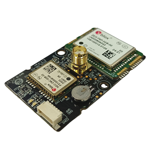
DroneCAN or UART · SMA for helical antenna · Moving baseline
Learn more →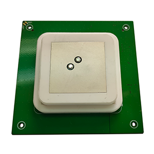
RTK antenna module · ZED-F9P dual-band · 70 x 70 x 12.3 mm
Learn more →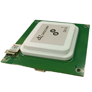
RTK antenna module · Bluetooth SPP and USB · 70 x 70 x 13.2 mm
Learn more →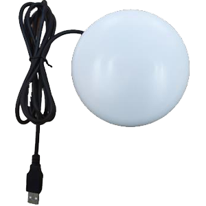
NEO-M8P, plug and play · IPX7 waterproof · RTK rover
Learn more →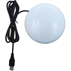
NEO-M8T, precise timing · IPX7 waterproof · Raw data for RTK
Learn more →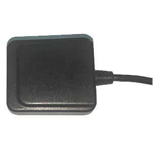
NEO-M8T, raw data · USB / RS232 / TTL · RTCM 2.3
Learn more →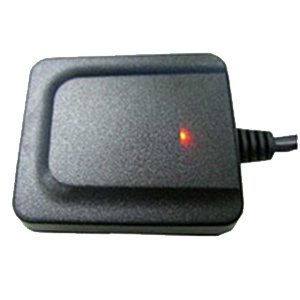
NEO-M8P · RTK 5 Hz GPS + GLONASS · Drone application
Learn more →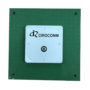
RTK antenna module · NEO-M8P, RTCM · 70 x 70 x 11 mm
Learn more →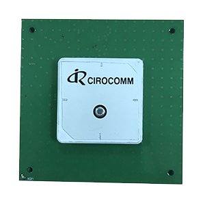
RTK antenna module · NEO-M8T, RTCM · 70 x 70 x 11 mm
Learn more →No products match that use. Show all products, or tell us what you need.
Tell us the platform, the accuracy you need and where corrections will come from.
Contact sales Request an evaluation kit