Precision GNSS, RTK & Timing Solutions — Engineered Wherever Precision Matters
Road and bridge construction, mining, geodesy, mapping and modern farming all depend on knowing exactly where you are — to the centimeter, not the meter. RTK turns a GNSS receiver into a measurement instrument accurate enough for that work.
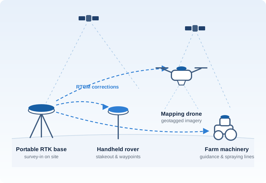
Navisys covers the whole field setup: a portable base station that surveys in on site, a handheld rover for stakeout and waypoint collection, and RTK modules and smart antennas for mapping drones and farm machinery. The BLERTK app for iOS and Android handles configuration, logging and stakeout in the field.
Centimeter accuracy without a permanent reference station
A portable base surveys in automatically on arrival and serves corrections through RTK2go or Emlid, or straight to the rover over Bluetooth when there is no internet on site.
Stakeout and point collection on the spot
The BLERTK app records waypoints and paths, displays them on a map, manages log files and guides 3D stakeout — no separate data collector needed.
Aerial mapping with fewer ground control points
An RTK module on the drone geotags each image at centimeter level, so a survey area needs far less ground marking and post-processing.
Straight, repeatable lines for machinery
Guidance and spraying depend on returning to the same line pass after pass. RTK gives the position, and dual-antenna heading keeps direction stable at low speed and close to metal, where a compass drifts.
Ground survey — manual operation with the BLERTK app
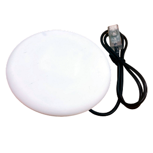
Portable RTK base with BLE5 and a rechargeable battery — surveys in automatically, and serves corrections through RTK2go, Emlid or a direct Bluetooth link.
Learn more →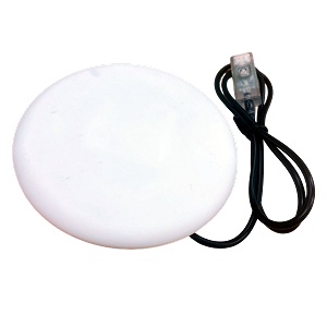
Handheld RTK rover with a POI button and magnet mount option — waypoint collection, path logging and 3D stakeout from your phone or tablet.
Learn more →Aerial survey — mounted on a mapping drone
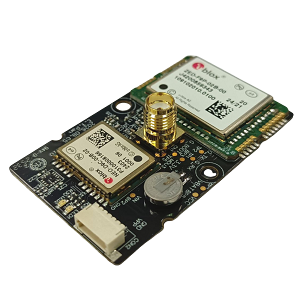
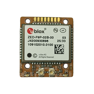
Dual-frequency RTK module for integrators building the receiver into their own mapping payload or airframe.
Learn more →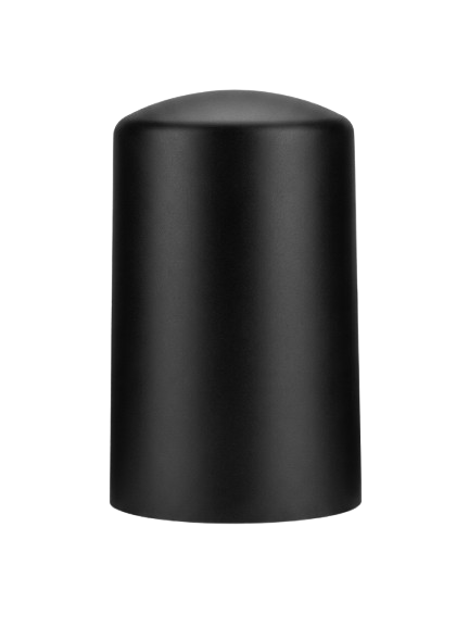
DroneCAN smart antenna — a ready-made RTK unit that connects to the flight controller's CAN bus.
Learn more →Building the drone itself? The UAV and drone page covers heading, DroneCAN and flight controller integration in more detail.
Precision agriculture — on tractors and sprayers
Machinery and drone RTK both need a correction source — a GR-9028 base on the field, or an NTRIP service where one is available.
Site conditions, accuracy target and whether corrections come from your own base or an NTRIP service — our team will suggest a setup that fits.
Contact our sales team