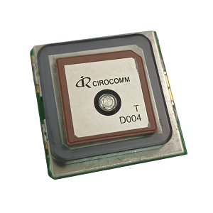
Precision GNSS, RTK & Timing Solutions — Engineered Wherever Precision Matters
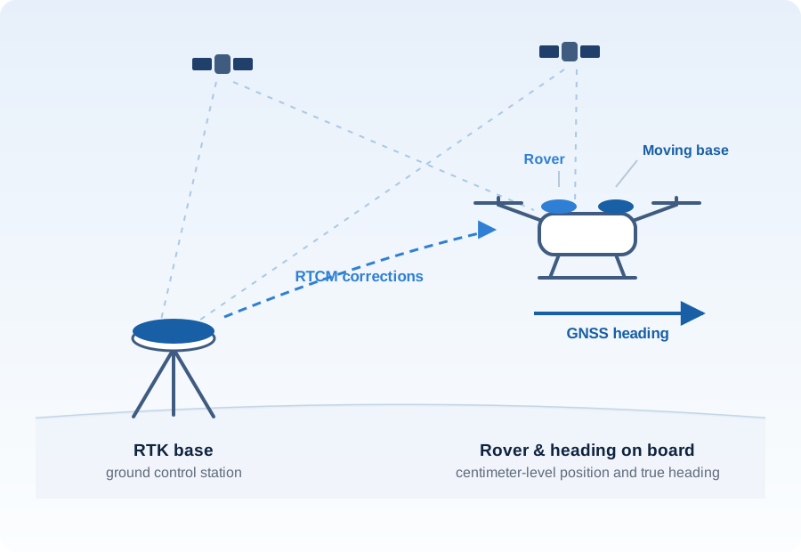
Centimeter-level positioning turns a drone from roughly on target into a precision tool. In agriculture it keeps spraying and seeding on line pass after pass; in surveying and inspection it puts every image and measurement exactly where it belongs.
Navisys RTK products cover both ends of the link: base stations for the ground control station, and rover, heading and DroneCAN units for the aircraft, plus standard-precision modules with a built-in compass when RTK is not needed. All of them work with ArduPilot and PX4, so integration is a matter of wiring and configuration rather than custom development.
Centimeter-level accuracy in the field
L1/L2 dual-band RTK with a ground base station, or corrections from an NTRIP service. Base and rover units share the same engine, so accuracy is consistent across the fleet.
Reliable heading without a magnetometer
Dual-antenna moving baseline gives true GNSS heading, which stays stable near motors, power cables and steel structures where a compass drifts.
Fast integration with the flight controller
ArduPilot and PX4 compatibility across the range, plus DroneCAN units that connect to the CAN bus instead of a UART port.
Awareness of interference
Spoofing detection and a jamming indicator let the flight controller know when the GNSS signal can no longer be trusted.
On the ground — base station and field receiver
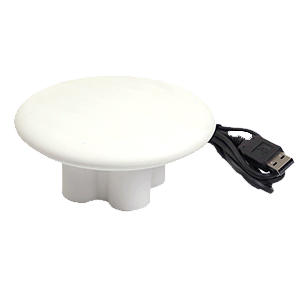
USB, RS232 and UART TTL interface options — the flexible choice for a fixed base setup.
Learn more →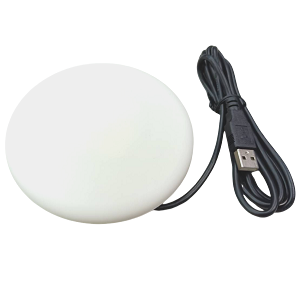
Bluetooth SPP and USB, plug and play with Mission Planner and mobile apps.
Learn more →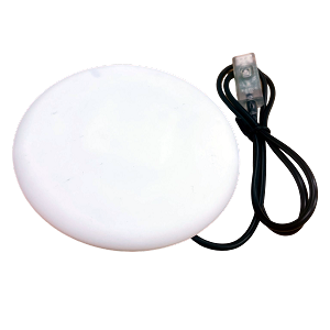
Portable RTK base with BLE5 and a rechargeable battery — surveys in automatically, and sends corrections to RTK2go or Emlid, or straight to a rover over Bluetooth.
Learn more →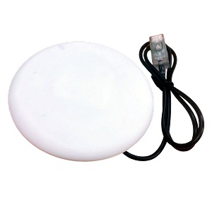
Handheld RTK rover receiver in a compact disk housing, with BLE5, battery and a POI button — pairs with GR-9028 for field checks, stakeout and point logging.
Learn more →On board the aircraft — rover and heading
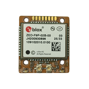
Dual-antenna RTK with moving baseline heading — precise direction without relying on a compass.
Learn more →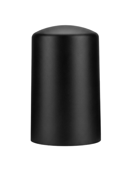
DroneCAN smart antenna — connects to the flight controller's CAN bus instead of a UART port.
Learn more →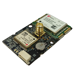
Dual-frequency RTK module for builders who integrate the receiver into their own board.
Learn more →When RTK is not required — standard precision with compass
Tell us your airframe, flight controller and accuracy target, and our team will suggest a base and rover pairing.
Contact our sales team