
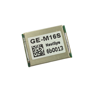
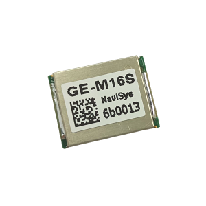
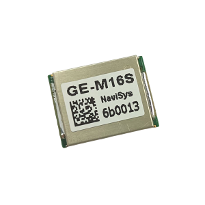
GE-M16L1/L5 Multi-satellite System GNSS Engine Board
- Chipset: AG3335
- Dimension: 12.2*16.0*2.0 mm
- Applications: Time synchronization, 5G RU、Femtocell、Microcell、Base station, High Speed Router, Network Switch, Financial Transaction System, Traffic Control System, etc.
- Product Flyer:

Description:
GE-M16 is able to track signals from all civil navigation systems, i.e. GPS, GLONASS, GALIELO, BEIDOU, QZSS, and NavIC. With plenty of visible satellites, better fixing geometry and by using good signals both help to achieve better accuracy. In addition, it also tracks L1 and L5 bands simultaneously which allows canceling out errors introduced when signals pass through the ionosphere and troposphere. This results in higher accuracy compared to single-band GNSS. Survey-in mode is supported to get the accurate position before entering position hold timing mode. With known position, position hold timing mode could be entered directly. Delay compensation of up to ±0.1 second is allowed to compensate for long antenna running from higher location.Specifications
| Chipset | Airoha AG3335A |
|---|---|
| GNSS systems | GPS, GLONASS, Galileo, BeiDou, QZSS, NavIC, SBAS |
| Frequency bands | L1 / L5 |
| Accuracy | 1.5 m (L1+L5); 1PPS ±2 ns |
| Features | Precise timing |
| Interface | UART-TTL, SMT |
| Output | NMEA, Binary, RTCM, 1PPS |
| Update rate | Up to 10 Hz |
| Power | 3–5 V |
| Current consumption | 52 mA |
| Size | 16.0 × 12.2 × 2.0 mm |
| Operating temperature | -40 ~ 85 ℃ |
| Antenna | External (connector) |
Typical values. See the product flyer (PDF) for full specifications.